


La boucle des boutisses

jeff2
User
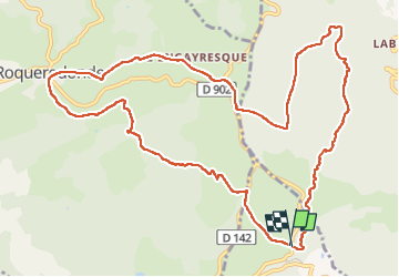

Length
13.8 km

Max alt
846 m

Uphill gradient
406 m
Km-Effort
19.3 km

Min alt
639 m

Downhill gradient
414 m
Boucle
Yes
Creation date :
2025-01-29 08:59:02.791
Updated on :
2025-01-29 12:51:00.868
3h18
Difficulty : Medium

FREE GPS app for hiking
 SityTrail
IGN / Geographical institutes
SityTrail Plus
The world is yours!
About
Trail Walking of 13.8 km to be discovered at Occitania, Hérault, Les Plans. This trail is proposed by jeff2.
Description
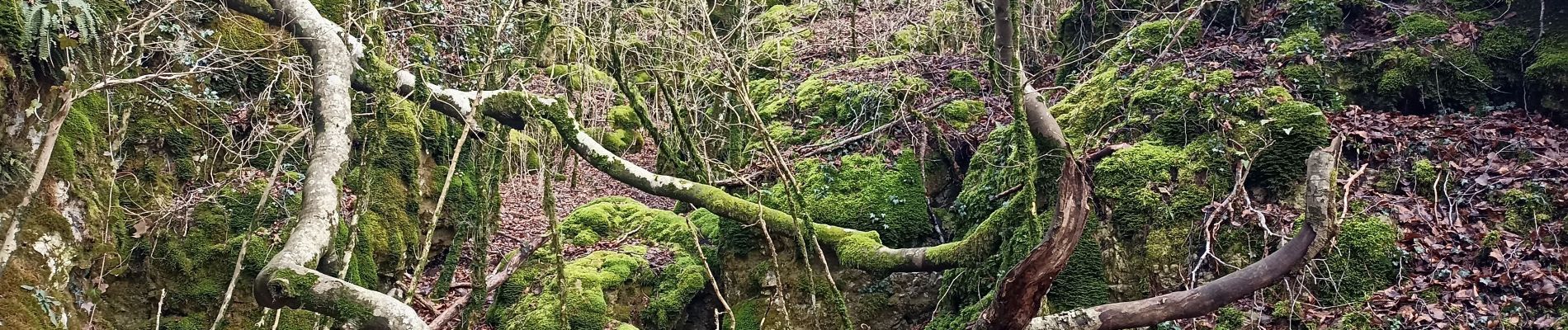
Magnifique Randonnée
Photos


Positioning
Country:
France
Region :
Occitania
Department/Province :
Hérault
Municipality :
Les Plans
Location:
Unknown
Start:(Dec)
Start:(UTM)
520102 ; 4847600 (31T) N.
Comments